Hiking
Ideal places for short and long family hikes in the heart of the Estérel massif.
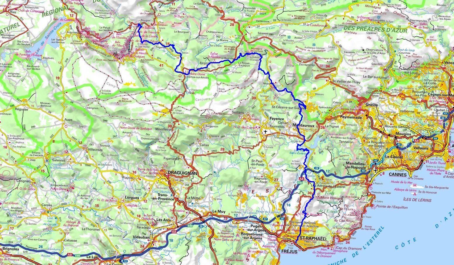
GR 49
The 107-kilometre long trail crosses the Var and Alpes de Haute-Provence regions.
From the moment you set off from Saint Raphaël, you’ll be immersed in the Estérel massif, renowned for its red volcanic rocks and spectacular views of the Mediterranean.
Continuing north, you’ll pass through the villages of Montauroux, Saint-Cézaire-sur-Siagne, Mons, La Bastide, Bargème, Comps-sur-Artuby, Trigance and finally Rougon, a medieval village perched on a rocky outcrop with a breathtaking view of the Gorges du Verdon.
You can find the map by clicking on this link: GR49
Here are some suggestions for walks and hikes starting from the village
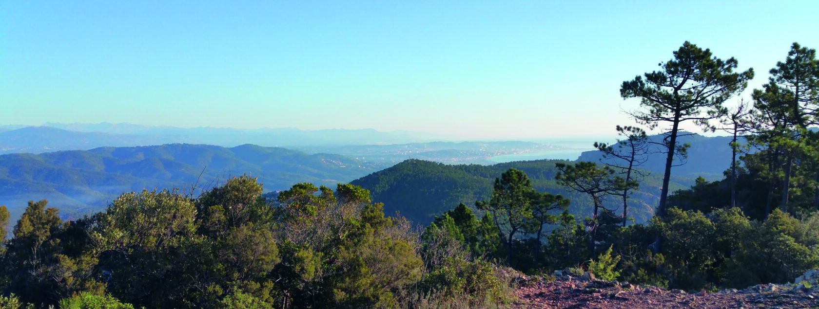
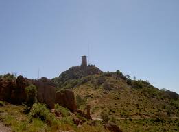
MONT VINEGRE
The highest point of the Estérel, at 618 meters, offers a 360° panorama, one of the finest viewpoints in the region.
As you’re leaving the village in the direction of the RN7 road, cross the road and take the only path in front of you, “l’Estarpe du Cheval”. When you arrive at the junction and after several minutes’ walk take the path to the left and continue until you reach the summit, a 2h30 round-trip.
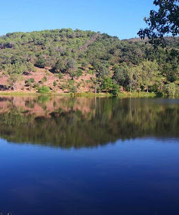
THE AVELLAN LAKE
As you leave the village, head towards the RN7 and take the track on the right at “Font Freye”. A few hundred metres further on, take the track that descends to the left.
THE MARRAS TRAIL
Opposite the bakery, turn left, then right after the garage onto the Chemin de Maraval, onto the dirt track and left onto the Marras track.
After a 20-minute walk, turn left at the junction with the “Font Freye” trail.
Continue to the end, arriving at the village exit, take the sidewalk on the left and return to your starting point. 1h30 – 5km
Just 5 minutes from the village, you can park your car at the Testanier pass, where you’ll find a number of trails for a total immersion in our massif.
We look forward to providing you with all the necessary information, advice and documents.